Walk
The towpath in fog, when the far bank stops existing
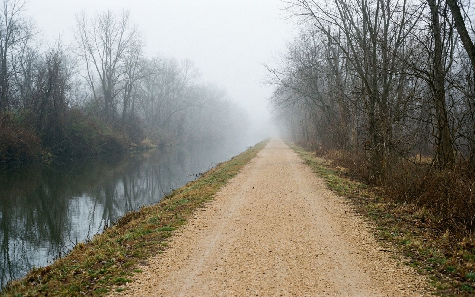
The canal runs west out of the city on a shelf above the river, dead straight and dead flat, and in the right fog it becomes about sixty yards long in each direction.
The canal was cut to move coal and flour down to the river, and it failed at that within a generation of being finished, which is why it survives. A working waterway gets rebuilt. A failed one gets left, and a hundred and fifty years later somebody puts gravel on the towpath and calls it the best flat walk in the region.
They are right about the flat. The rest depends entirely on the weather and the mile.
The route
Out from the city end, five and a half miles, then back the same way for a total that this piece counts as a single out and back walk. Two hours forty at an easy pace with stops at three locks.
Measured on the ground. The mile markers on the towpath are the canal's own and they are accurate, which makes this the easiest route in the journal to verify.
The first mile, and why to get past it
The first mile is cobbles, tourists, cafes and dogs. It is the busiest stretch of towpath in the country and it tells you almost nothing about a canal.
Everything worth the walk starts after the second lock, where the surface turns to gravel, the buildings stop and the river below arrives properly for the first time. If you have an hour, spend it starting at the second lock rather than at the beginning.
Two levels, one shelf
The thing to understand about this walk is that you are on a shelf between two bodies of water at different heights. The canal on one side is dead flat by design, held up by locks. The river on the other is dropping steadily, which is exactly why the canal needed the locks in the first place.
In the first five miles the river falls far enough that you can hear it change: flat water at the start, and by the fourth mile a continuous rush from below and to the left that never stops again.
The locks
- They are dry now on this stretch, mostly, and the chambers are visible as stone rooms with the gates gone.
- The lockhouses survive at several, small and square, built for a family and a job that has not existed since the eighteen nineties.
- The gate recesses in the stone are the best detail: you can see exactly where the timber sat and how deep the chamber was.
- The overflow weirs beside them are still working, which is the only part of the machinery that never had to be maintained to keep going.
Fog
River fog forms here on a still morning after a warm day and a cool night, and it sits in the corridor between the two waters because that is the coldest air in the landscape.
What it does to the walk is remarkable. The path is arrow straight, so in clear weather you can see half a mile of your own future. In fog you see sixty yards, the far bank of the canal comes and goes, and every sound arrives without a direction attached to it. It is the same walk and a different experience, and it is worth setting an alarm for.
The surface, honestly
Cobbles for the first half mile, then compacted gravel and packed earth. After rain the gravel is fine and the earth sections hold puddles that stretch the width of the path for twenty yards at a time.
Absolutely flat. No stairs on the towpath itself, though every access point from the road above has either steps or a long ramp, and which one you get is worth checking before you commit.
Shade is heavy for most of the route, which makes this the right summer walk and a genuinely cold winter one.
Turning around
The great trap of an out and back walk is that the return is the same distance as the outbound and you have already spent the enthusiasm. On a towpath this is worse than usual, because there is no shortcut, no loop and no bus.
Turn at the time rather than the distance: half your available hours, then round, whatever mile marker that lands on.