Walk
The blocks a tram built, sixty years after the tram stopped
A street system remembers its transport long after the transport is gone, and in this quadrant the memory is so clear you can walk the old line without a map.
Between the eighteen eighties and the nineteen twenties this part of the city was laid out by people who assumed that everybody would arrive by streetcar. The last car ran in 1962. The assumption is still built into the ground.
This walk reads it off the street plan: where the line ran, where it turned, where the stops were and what got built at each one.
The route
Up the ridge, along the old line, down the far side and back on the parallel street. Three miles measured, one hour forty with stops, on a warm May afternoon with the trees fully out.
Gentle for most of it with one genuine climb of about eighty feet, which is a lot for this city and nothing for anywhere with hills.
Reading a tram line out of the street
Five things give it away, and once you have them you cannot stop seeing them.
- 1. A wide street with a wide median or a very wide roadway. The line needed the middle.
- 2. Shops at the corners and nothing in between. Retail clustered at the stops, which were four or five blocks apart, and the blocks between are residential all the way through.
- 3. Apartment buildings at the stops too, and only there. Density follows the platform.
- 4. Curved corners on the block ends where the line turned, because a tram cannot turn a right angle.
- 5. A depot or a car barn somewhere near the end of the line, usually now a supermarket, a church or a self storage building, and always a size that makes no sense for its current use.
The porches
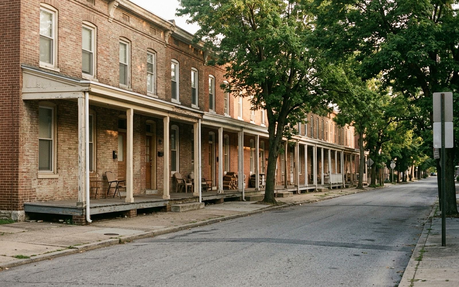
The houses here are rows, but they are rows with porches, which is a specific moment in the building history of this city. The porch appears when the streetcar makes it possible to live a mile and a half from your work and still get there, and it disappears again when the car makes the front of the house a place you drive past.
Walk two hundred yards and you can date the block by the porch alone: deep and wooden, then deep and brick, then shallow, then a stoop, then nothing.
The trees
The other thing the streetcar era left is the canopy. These streets were planted at the same time as they were built, which means the trees are all one age, which means they are all reaching the end of that age at once.
The gaps are the story. A block with three young replacements in a row lost three big ones in the same storm, and if you look at the pavement in front of them you can usually see where the roots were cut out.
The surface, honestly
Pavement throughout, in mixed repair. The tree roots have lifted a good deal of it, and on this route there are four or five places where the slabs are proud by an inch or more, which matters if you are pushing anything with wheels.
One climb, taken in two blocks, about eighty feet. No stairs on the described route. There is a stair shortcut down the ridge that saves five minutes and costs sixty two steps, and the walk avoids it deliberately.
The best twenty minutes
The last stretch, along the top of the ridge with the ground falling away east. Late afternoon, the porches all in shade and the tops of the trees all in sun, and the whole plan of the neighbourhood visible below in a way that no amount of standing on a corner will show you.